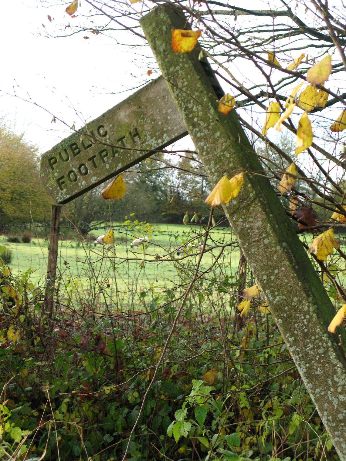
Great Maplestead has many miles of delightful footpaths and bridleways for exploring the area on foot, bicycle or horseback.

These are Public Rights of Way for pedestrians only.
You are allowed to walk your dog as long as it is under your close control. When walking a dog, you must ensure that it keeps to the public footpath and does not trespass into nearby properties. Prams, pushchairs or wheelchairs can also be used on a footpath.
Footpaths on the edge of a field must not be ploughed, except where they cross fields - however, a minimum width of 1 metre must be made available within 14 days of ploughing. Landowners must also ensure that they restore footpaths after ploughing.
Bridleways
These are Public Rights of Way for pedestrians, cyclists and horse riders.
Bridleways on the edge of a field must not be ploughed, except where they cross over fields. Like with footpaths, landowners must also clear a minimum width of 2 metres within 14 days of commencing ploughing. Landowners must also ensure that they restore bridleways after ploughing.
Motorcars, mini-motors and motorcycles are not allowed on bridleways.
Things you should know...
- It is a criminal offence under the Highways Act 1980 for a landowner to obstruct a Public Right of Way. An obstruction is anything which interferes with your right to use the path or bridleway, for example: a barbed wire fence, a padlocked gate, dumped rubbish, chained or loose dogs or manure dumped on the path. Dense undergrowth is not normally treated as an obstruction but is dealt with under path maintenance. The Highways Authority has the right to demand that landowners remove any obstruction; if they don’t, the Authority can take action to remove the obstruction and recover its costs from the landowner.
- Landowners must ensure that vegetation does not encroach onto a Public Right of Way from the sides or above, bearing in mind the various clearances needed for differing users; for example horse riders.
- It is considered that, for most purposes, the surface of any Public Right of Way belongs to the Highways Authority - this means the actual surface and as much of the soil below and the air above as is necessary for the control, protection and maintenance of the path or bridleway. The rest normally belongs to the owner of the surrounding land.
- You should not drop or leave litter on a Public Right of Way.
- If you are walking a dog, you must make sure that it does not stray off the legal lines of the footpath or bridleway, as this may constitute an act of trepass.
If your dog fouls on a footpath please ensure that you clean up after it.
Dog Waste Bins are provided in 7 locations around the Parish.
These are:
- at the bottom of the Footpath 4 steps opposite the Village Hall
- adjacent to the Village Playing Field car park
- at the junction of Lucking St and Toldish Hall Rd
- at the start of Footpath 15 on Gestingthorpe Rd., opposite Little Chelmshoe House
- near the junction of Maple Lodge and Gestingthorpe Roads
- at the junction of Dynes Hall Rd and Purls Hill Rd
- in the field entrance where Footpath 19 crosses Toldish Hall Road
Dog owners may also use general litter bins to dispose of bagged dog waste
On no account should bagged dog waste be dumped in the open or hung on hedges. This is classed as littering and can attract a fine of up to £1,000.
You can click on Parish Footpaths to view, download and print Great Maplestead and neighbouring Parish footpaths. You can also view and download the following suggestions, as maps with narratives, for local walks:
Circular walks from the Village Hall: Monks Spinney/the Lake; Little Maplestead Round Church; Little Chelmshoe; Alderford Mill/Hulls Mill; Wallace Farm/Hulls Mill
'There and Back' Walks from the Village Hall: Castle Hedingham (The Bell); Wickham St Paul (The Victory - could also be a circular walk)
For more in depth/all-purpose walking or leisure maps the best ones to use are the Ordnance Survey “Explorer” or “Landranger" maps. But will the weather be suitable for a walk? Check to find out what's in store for Great Maplestead for the next few days...
For further detailed information on general Essex Public Rights of Way (PROW) Footpaths and Byways you can visit the Interactive Map:
♦ Click here to activate the Map, then follow the instructions on the page
♦ You can either use the zoom in/out function to find a specific area of interest or use the search facility
♦ On maximum zoom you can click on a particular footpath and open its identity information for reporting purposes
♦ To return to the Parish Council page click the 'back' button on your browser

